Research procedure
Measure plot area with GPS
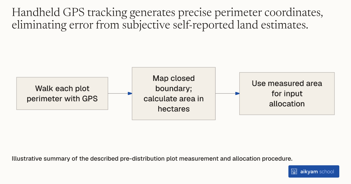
- Walk each plot perimeter with GPS
- Map closed boundary; calculate area in hectares
- Use measured area for input allocation
Illustrative summary of the described pre-distribution plot measurement and allocation procedure.
See source →How
When to use
Use this method when measuring agricultural plot dimensions in smallholder farming areas where land registries and formal surveys are absent. It solves the problem of imprecise self-reported plot sizes that distort per-hectare input calculations. It is designed for agricultural researchers and extension teams calculating land areas for rural producers.
Measure agricultural land area using handheld GPS tracking devices to calculate exact field size in hectares.
- Send survey enumerators to visit target agricultural plots prior to input distribution.
- Walk the full perimeter of each farmer's target plot with a handheld GPS receiver turned on to record boundary coordinates.
- Generate closed polygon maps from GPS spatial tracking data for each individual parcel.
- Calculate exact plot surface areas in square meters and converted hectares.
- Use calculated plot area metrics to determine customized per-hectare input allocations.
Why it works
Accurate plot measurements prevent under- or over-dosing when assigning per-hectare recommended chemical fertilizer quantities.
Example
In southern Mali, research teams used handheld GPS tracking devices to measure rice plot areas across 383 female farmers, discovering that the average rice plot was small, measuring 0.22 hectares.
About the study
Participants
383 female rice farmers across 23 villages in Bougouni district, southern Mali.
Study Design
Handheld GPS spatial boundary measurement across smallholder rice plots combined with baseline farmer surveys.
Results
GPS mapping revealed an average female rice plot area of 0.22 hectares, enabling accurate plot-specific full fertilizer grants (mean 308.20 kg/ha) and half fertilizer grants (mean 156.20 kg/ha).