Research procedure
Estimate property values
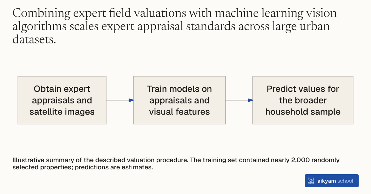
- Obtain expert appraisals and satellite images
- Train models on appraisals and visual features
- Predict values for the broader household sample
Illustrative summary of the described valuation procedure. The training set contained nearly 2,000 randomly selected properties; predictions are estimates.
See source →How
When to use
In cities where informal land markets lack systematic property registries or transaction records, predicting property values for policy targeting is difficult. Manual field appraisals across thousands of urban plots are time-consuming and prone to subjective valuation bias. Training machine learning models on expert-evaluated baseline properties enables automated property value predictions across broad urban areas.
Predict urban property values using computer vision algorithms trained on expert cadastral assessments.
- Select a representative sample of approximately 2,000 urban properties across the target city as described in Footnote 24.
- Direct the chief expert from the provincial cadastral office to evaluate each selected property on the ground to establish benchmark valuation data.
- Collect high-resolution satellite imagery covering all target properties and compounds.
- Input visual features and compound characteristics into machine learning and computer vision algorithms.
- Train the algorithms on the expert appraisal dataset to predict property values across the broader household sample.
Why it works
This produces consistent property value estimates without requiring manual inspection of every property.
Example
Researchers trained machine learning and computer vision algorithms on a training set of nearly 2,000 randomly selected properties appraised by the top expert in the provincial cadastral office in Kananga, DRC, to estimate property values for 483 eligible households.
About the study
Participants
4,343 randomly sampled households across 364 neighborhoods in Kananga, Democratic Republic of Congo, with nearly 2,000 properties in the valuation training set.
Study Design
Machine learning and computer vision property valuation trained on expert cadastral appraisals to estimate property values used as interactive controls in a randomized land titling trial.
Results
Higher predicted property value increased land titling program initiation by 14.6 percentage points and title receipt by 7.7 percentage points.