Research procedure
Build a household census before sampling
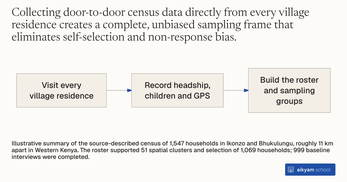
- Visit every village residence
- Record headship, children and GPS
- Build the roster and sampling groups
Illustrative summary of the source-described census of 1,547 households in Ikonzo and Bhukulungu, roughly 11 km apart in Western Kenya. The roster supported 51 spatial clusters and selection of 1,069 households; 999 baseline interviews were completed.
See source →How
When to use
Field research teams in developing regions often lack reliable, up-to-date sampling frames and household rosters when launching community health projects. Use this method when starting a field study to establish a comprehensive population baseline and identify eligible households across target villages. It is intended for project managers seeking representative sampling and precise spatial tracking before delivering interventions.
Conduct a comprehensive door-to-door census across targeted rural villages to establish a representative household sampling frame and record baseline spatial data.
- Field enumerators visit every residence door-to-door within specified village boundaries.
- Enumerators record whether the household is led by a single or dual head.
- Enumerators enumerate the total number of children living in each residence.
- Enumerators capture precise latitude and longitude coordinates for each residence using handheld GPS devices.
- Project leaders organize the collected census records to build a complete village roster and construct randomized sample stratifications.
Why it works
Capturing spatial coordinates simultaneously allows researchers to construct geographic clusters for stratified sampling and spillover tracking.
Example
In Western Kenya, field enumerators conducted a door-to-door census across two rural villages (Ikonzo and Bhukulungu) located 11 kilometers apart, surveying 1,547 total households to map family headship, child counts, and GPS coordinates.
About the study
Participants
1,547 households surveyed in two rural villages (Ikonzo and Bhukulungu) in Busia and Samia Districts of Western Kenya.
Study Design
Full population door-to-door census collecting headship structure, child demographics, and GPS coordinates to construct 51 spatial clusters and randomly select 1,069 households for intervention participation.
Results
The door-to-door census successfully mapped 1,547 total households, enabling the random selection of 1,069 stratified households and achieving a 93.4% baseline response rate (999 completed interviews).