Try, learn and adjust
Check technical plot survey documents
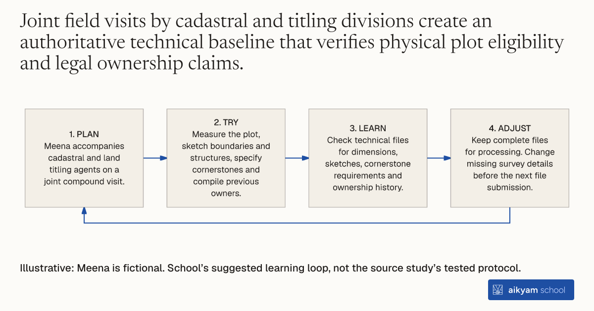
- Plan: Meena accompanies cadastral and land titling agents on a joint compound visit.
- Try: Measure the plot, sketch boundaries and structures, specify cornerstones and compile previous owners.
- Learn: Check technical files for dimensions, sketches, cornerstone requirements and ownership history.
- Adjust: Keep complete files for processing. Change missing survey details before the next file submission.
Illustrative: Meena is fictional. School’s suggested learning loop, not the source study’s tested protocol.
See source →School’s suggested learning loop checks technical file completeness, separately from the official plot survey.
How
When to use
In cities with informal land settlement, local land registries lack detailed geographical and legal information for individual properties. Land titling programs require accurate property measurements, border identification, and historical ownership documentation before legal titles can be issued. Multi-department surveying teams conduct coordinated compound visits to measure plots, draft official sketches, and establish formal technical property files.
Measure and document target land parcels through joint multi-department field visits to establish official property technical files.
- Deploy field agents from provincial cadastral and land titling offices alongside observers to visit each target compound as described in Section 4.4.
- Measure the physical dimensions of the land plot.
- Draw a plot sketch reflecting parcel boundaries, existing durable structures, and proximity to geographic features.
- Calculate and specify the required number of physical cornerstones needed to demarcate property boundaries.
- Compile official intermediate documents detailing technical aspects of the plot and the full list of previous owners.
Why it works
This verifies property boundaries and satisfies formal administrative requirements for state recognition.
Example
Cadastral and titling agents accompanied by survey enumerators visited compounds across Kananga, DRC, measuring plots, drawing sketches, specifying cornerstones, and compiling historical ownership records for 483 eligible households.
About the study
Participants
4,343 randomly sampled households across 364 neighborhoods in Kananga, Democratic Republic of Congo, with 483 eligible households in the main analysis sample.
Study Design
Randomized controlled trial evaluating a subsidized land titling program where treated households were invited to receive multi-department technical plot survey visits.
Results
Program assignment caused a 44 percentage point increase in initiation of the land titling process and a 13.7 percentage point increase in actual receipt of formal land titles.