Research procedure
Build baseline farm and water data
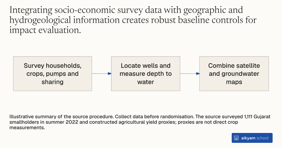
- Survey households, crops, pumps and sharing
- Locate wells and measure depth to water
- Combine satellite and groundwater maps
Illustrative summary of the source procedure. Collect data before randomisation. The source surveyed 1,111 Gujarat smallholders in summer 2022 and constructed agricultural yield proxies; proxies are not direct crop measurements.
See source →How
When to use
Resource management interventions require measuring participant characteristics and environmental conditions before introducing experimental incentives. Without detailed pre-intervention data, researchers cannot control for household attributes or estimate agricultural yield proxies accurately. This method combines field surveys with satellite and hydrogeology mapping to establish comprehensive baseline controls.
Collect detailed baseline household data and integrate remote sensing mapping before randomizing experimental interventions.
- Administer pre-intervention field surveys to record farm land size, household size, crop types, crop management practices, and prior-year irrigation decisions.
- Log technical pump characteristics, including the power rating of the primary irrigation pump.
- Assess farmer attitudes toward water conservation strategies and map social networks of shared pumps and water usage.
- Survey exact geographical locations and measure depth-to-water for every active agricultural well.
- Combine remote sensing satellite imagery with digitized groundwater prospect maps to generate proxies for baseline agricultural yields.
Why it works
Satellite proxies allow accurate outcome tracking without relying solely on recall surveys or costly crop cutting.
Example
In the summer of 2022, prior to randomizing payment groups, researchers surveyed participants in Saurashtra, Gujarat, logging land size, pump power, well depth-to-water, and sharing networks across 1,111 smallholder farmers while using satellite imagery and groundwater prospect maps to construct agricultural yield proxies.
About the study
Participants
1,111 smallholder farmers in Saurashtra, Gujarat, India.
Study Design
Baseline surveying conducted in summer 2022 prior to randomization, collecting household, hydrogeological, and network data while leveraging satellite imagery and digitized groundwater prospect maps to build yield proxies.
Results
Baseline data enabled precise estimation showing that conservation payments reduced monthly pumping by 10.4 hours (22 percent) and energy use by 140 kWh (23 percent) without causing any change in crop yields.