Research procedure
Sample villages around market centres
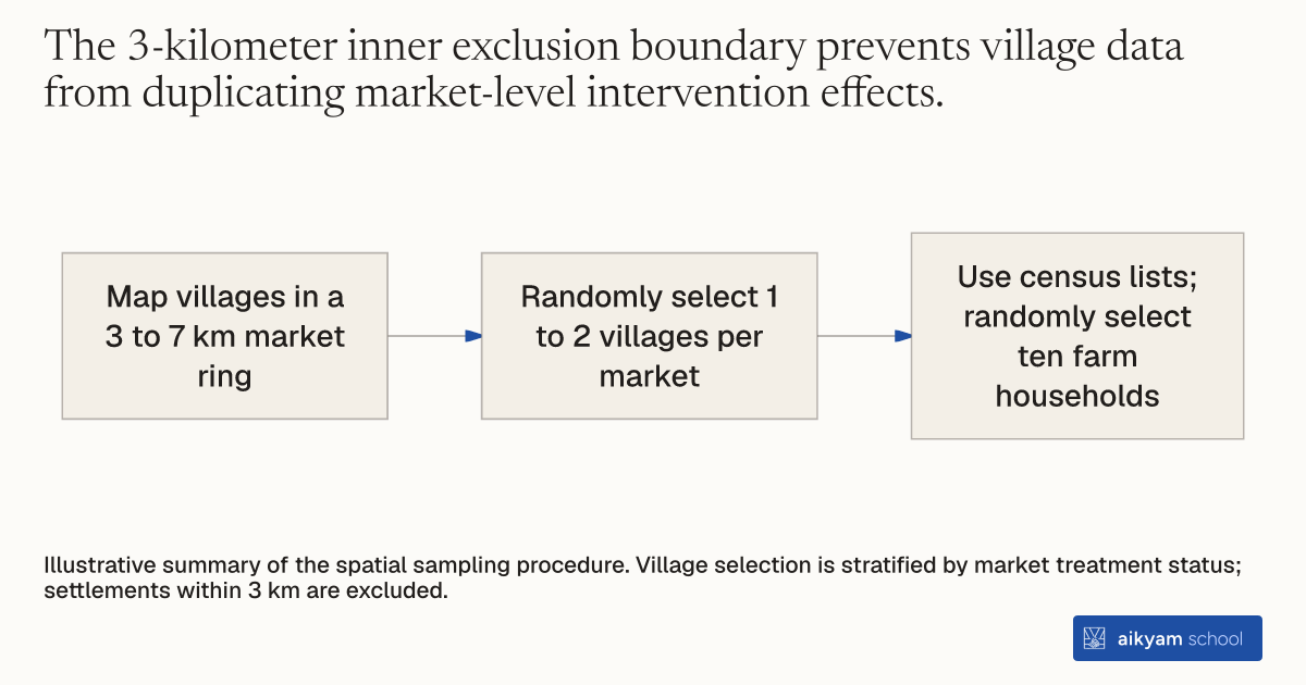
- Map villages in a 3 to 7 km market ring
- Randomly select 1 to 2 villages per market
- Use census lists; randomly select ten farm households
Illustrative summary of the spatial sampling procedure. Village selection is stratified by market treatment status; settlements within 3 km are excluded.
See source →How
When to use
Spatial economic interventions need to define distinct treatment catchments around market hubs while avoiding immediate geographic overlap. Selecting settlements too close to markets leads to treatment duplication, whereas selecting settlements too far severs economic links. Program evaluators use this method to map and sample rural farming communities within defined distance rings around retail markets.
Map and sample rural settlements within a defined ring-radius boundary around market centers using local administrative maps and GPS coordinates.
- Obtain official administrative lists and recorded GPS locations for all commercial retail market centers across the target region.
- Partner with local agricultural extension officers to identify every rural village situated within a specified 3 to 7 kilometer ring radius around each market.
- Exclude settlements within the 3 kilometer inner boundary to prevent immediate overlap between market-level and settlement-level activities.
- Set a 7 kilometer outer boundary to ensure that traveling to the associated market remains practical for local residents.
- Randomly select 1 to 2 villages per market cluster from the eligible ring-radius list, stratifying selection by market treatment status.
- Obtain official household census lists from local government extension officers for each selected village.
- Randomly sample ten farming households per village from the administrative census list for study participation.
Why it works
The 7-kilometer outer ceiling ensures that selected villages maintain active economic linkages and regular purchasing relationships with the associated market hub.
Example
Researchers partnered with government extension officers in Morogoro Region, Tanzania, mapping villages surrounding 100 regional market towns. They identified villages within a 3 to 7 km ring radius around each market and randomly selected 148 villages, sampling ten farming households from government census lists in each village.
About the study
Participants
148 villages and 1,479 smallholder farming households surrounding 100 markets across Morogoro Region, Tanzania.
Study Design
Spatial ring-radius cluster mapping (3 to 7 km boundaries) combined with stratified randomized selection of villages and random household sampling from extension census lists.
Results
Spatial ring sampling successfully established a balanced panel of 995 households across 148 villages linked to 89 baseline markets, with 40% of villagers actively visiting their associated ring market.