Research procedure
Select geographically separated study clusters
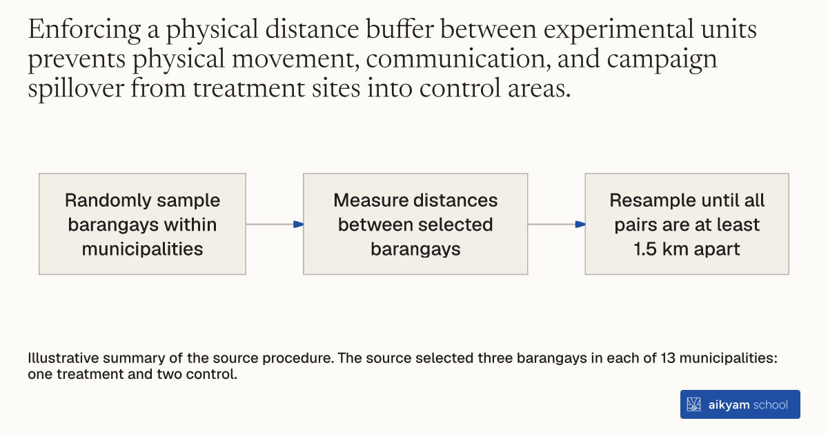
- Randomly sample barangays within municipalities
- Measure distances between selected barangays
- Resample until all pairs are at least 1.5 km apart
Illustrative summary of the source procedure. The source selected three barangays in each of 13 municipalities: one treatment and two control.
See source →How
When to use
A field experimenter needs to select treatment and control clusters within administrative units without cross-unit contamination. In dense urban or peri-urban settings, proximity between sampled units risks information or campaign spillovers that undermine experimental control. Enforcing a minimum geographical distance buffer through resampling guarantees spatial separation between selected treatment and control units.
Randomly select candidate clusters within administrative divisions and resample whenever any pair falls below a fixed geographical distance threshold.
- Define the universe of administrative clusters within each higher-level geographic unit.
- Randomly select the required number of treatment and control units per higher-level unit using cluster sampling.
- Measure the physical distance between all selected candidate units in each administrative unit.
- Replace any selected unit and resample another from the local universe whenever the distance between any two selected units is less than 1.5 kilometers.
- Repeat the replacement and resampling procedure until all selected units meet or exceed the 1.5 kilometer buffer distance.
Why it works
Spatial distance ensures control units remain unexposed to local treatment activities while preserving randomized assignment.
Example
In the 2013 Philippine electoral campaign experiment across Metro Manila and Calabarzon, researchers selected three barangays per municipality across 13 municipalities, assigning one to deliberative treatment and two to control. To avoid contamination between treatment and control groups, researchers replaced and resampled any barangay located less than 1.5 kilometers from another selected barangay. This spatial resampling procedure was repeated until no selected barangays were located within 1.5 kilometers of each other across all 13 municipalities.
About the study
Participants
39 barangays selected across 13 municipalities in the National Capital Region and Calabarzon region, Philippines, covering 1,082 survey respondents and official precinct voting data.
Study Design
Two-stage cluster sampling design with spatial buffer resampling enforcing a 1.5 kilometer minimum distance between selected barangays in each municipality.
Results
Distance-based cluster resampling successfully eliminated geographical proximity contamination across 39 sampled barangays, enabling clean estimation of a 1.096 percentage point (46 percent) ITT increase in party vote share without spatial spillover confounding.