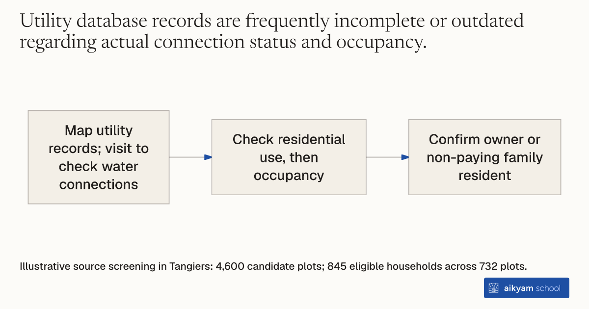
Research steps
Screen residential plots
- Map utility records; visit to check water connections
- Check residential use, then occupancy
- Confirm owner or non-paying family resident
Illustrative source screening in Tangiers: 4,600 candidate plots; 845 eligible households across 732 plots.
See source →How
When to use
Urban utility expansion programs often face inaccurate customer databases when targeting low-income households. This method verifies plot connectivity and residential occupancy before delivering targeted infrastructure assistance. It ensures that financing and administrative help reach eligible owner-occupiers who lack direct water access.
Identify and screen eligible residential plots by combining city utility maps with direct field inspections.
- Hired surveyors overlay detailed Tangiers city maps with Amendis utility customer databases to find un-metered plots.
- Surveyors conduct physical site visits to verify whether each plot lacks a piped water connection.
- Surveyors verify that the plot serves residential rather than commercial purposes.
- Surveyors check that the residential building is currently occupied rather than vacant.
- Surveyors confirm that the primary resident is an owner or non-paying family member rather than a tenant.
Why it works
Direct field verification prevents spending time and resources on already connected, commercial, empty, or rental properties.
Example
Surveyors in Tangiers, Morocco inspected 4,600 candidate plots identified from utility maps across three program zones. The team excluded 12 percent that were already connected, 25 percent that were empty, 14 percent used for commerce, and 20 percent occupied by tenants, leaving 845 eligible households across 732 plots.
About the study
Participants
4,600 candidate plots screened to identify 845 eligible households across 732 plots in Tangiers, Morocco.
Study Design
GIS mapping overlaid with utility data, followed by door-to-door physical verification surveys by field enumerators.
Results
Physical screening eliminated 52 percent of candidate plots, accurately establishing a target baseline of 845 eligible households without water connections.