Research audit
Assess burning across study plots
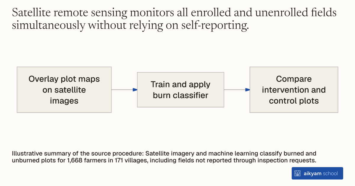
- Overlay plot maps on satellite images
- Train and apply burn classifier
- Compare intervention and control plots
Illustrative summary of the source procedure: Satellite imagery and machine learning classify burned and unburned plots for 1,668 farmers in 171 villages, including fields not reported through inspection requests.
See source →How
When to use
Environmental monitoring programs need impartial compliance verification across all enrolled and non-enrolled land plots. Relying only on participant call-ins misses non-compliant actors who burn fields without requesting inspections. This audit method uses satellite imagery and machine learning to evaluate crop residue burning across whole target populations.
Audit agricultural crop residue burning remotely by combining satellite optical imagery with trained machine learning classifiers.
- Obtain high-resolution satellite imagery covering all study villages and agricultural fields during the harvest season.
- Overlay pre-mapped plot boundaries onto satellite image layers.
- Train a machine learning classification model on verified baseline field burn patterns.
- Process satellite images through the machine learning model to classify each plot as burned or unburned.
- Compare remote sensing burn determinations across intervention and control groups to evaluate true program impact.
Why it works
Machine learning algorithms detect visual burn signatures objectively to eliminate selection bias in compliance tracking.
Example
In Punjab, India, researchers mapped land plot boundaries for 1,668 farmers to satellite images and trained a machine learning model to spot stubble burning. The satellite audit revealed that standard post-harvest PES produced no reduction in burning relative to the 90.1 percent control burn rate, while up-front PES reduced burning by 7.7 percentage points.
About the study
Participants
Mapped land plots belonging to 1,668 farmers across 171 villages in Bathinda and Faridkot, Punjab, India.
Study Design
Remote sensing satellite image analysis combined with a machine learning classification model trained to identify stubble burning across all study plots.
Results
Satellite monitoring showed 90.1 percent of comparison group plots burned residue, standard PES plots burned at identical rates to the comparison group, and up-front PES reduced stubble burning by 7.7 percentage points.