Research steps
Select villages with past flooding
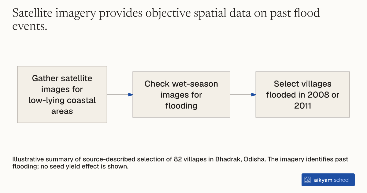
- Gather satellite images for low-lying coastal areas
- Check wet-season images for flooding
- Select villages flooded in 2008 or 2011
Illustrative summary of source-described selection of 82 villages in Bhadrak, Odisha. The imagery identifies past flooding; no seed yield effect is shown.
See source →How
When to use
Agricultural development projects often struggle to locate villages that face specific weather risks like flooding. Historical surveys can be inaccurate or unavailable when identifying target communities for flood-tolerant crop varieties. Satellite imagery provides an objective method to confirm recent flooding events in candidate villages.
Identify flood-prone agricultural communities by analyzing historical satellite imagery.
- Program managers gather satellite imagery covering candidate low-lying coastal areas in Bhadrak district.
- Analysts examine spatial satellite imagery from recent wet seasons to detect flood inundation.
- Program staff select villages that experienced flooding in either 2008 or 2011.
Why it works
This ensures that flood-tolerant crop technologies reach the communities facing severe weather risks.
Example
Researchers selected 82 coastal low-lying villages in Bhadrak district, Odisha, India that flooded in either 2008 or 2011 based on satellite imagery.
About the study
Participants
82 rural villages in Bhadrak district, Odisha, India.
Study Design
Randomized evaluation using satellite imagery to identify low-lying coastal villages flooded in 2008 or 2011.
Results
Satellite selection established an 82-village study sample where Swarna-Sub1 increased rice yields by around 50 percent during flash flooding.