Research procedure
Define neighbourhood sampling boundaries
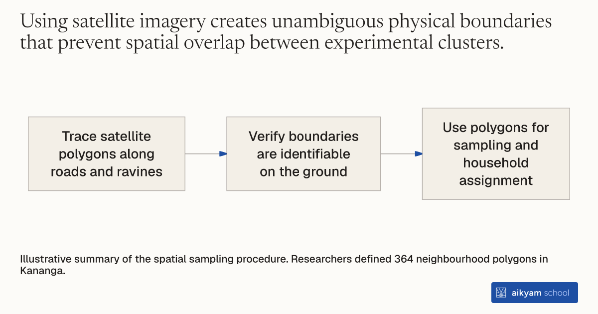
- Trace satellite polygons along roads and ravines
- Verify boundaries are identifiable on the ground
- Use polygons for sampling and household assignment
Illustrative summary of the spatial sampling procedure. Researchers defined 364 neighbourhood polygons in Kananga.
See source →How
When to use
In dense urban areas without formal administrative maps, defining sampling units and intervention clusters for households is difficult. Researchers and program managers need a clear way to construct non-overlapping geographical units that approximate local administrative boundaries. Using satellite imagery, teams draw polygons bounded by visible physical features like roads and ravines to create consistent neighborhood sampling frames.
Delineate neighborhood sampling units using satellite imagery to establish clear spatial boundaries for urban interventions.
- Inspect high-resolution satellite imagery of the target urban area to identify natural and built physical boundaries such as roads, ravines, and landmarks.
- Trace spatial polygons along these identifiable boundaries to approximate the finest local administrative units.
- Verify on the ground that field teams can easily identify and navigate the defined polygon borders.
- Assign survey teams to conduct baseline surveys or interventions within each bounded polygon unit.
- Use the defined polygon units as geographical clusters for household sampling and randomized treatment assignment.
Why it works
This ensures field enumerators can reliably identify and navigate neighborhood units on the ground.
Example
Researchers defined 364 neighborhood polygons using satellite imagery bounded by roads and ravines across Kananga, DRC, to establish local administrative units for surveying and randomized land title assignment.
About the study
Participants
4,343 randomly sampled households across 364 neighborhoods in Kananga, Democratic Republic of Congo, with 483 eligible households in the main analysis sample.
Study Design
Randomized controlled trial using spatial polygon units delineated via satellite imagery, with household-level treatment assignment within polygons for a subsidized land titling program.
Results
Program assignment caused a 44 percentage point increase in initiation of the land titling process and a 13.7 percentage point increase in actual receipt of formal land titles.