Research procedure
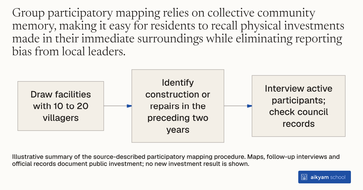
Map village infrastructure with residents
- Draw facilities with 10 to 20 villagers
- Identify construction or repairs in the preceding two years
- Interview active participants; check council records
Illustrative summary of the source-described participatory mapping procedure. Maps, follow-up interviews and official records document public investment; no new investment result is shown.
See source →How
When to use
Local governments and evaluators lack reliable baseline data on public goods and community infrastructure condition across rural jurisdictions. This assessment method solves reporting bias and administrative record gaps by engaging local residents directly in visual mapping. It serves development programs needing accurate physical audits of facilities built or repaired across villages.
Conduct participatory resource mapping with groups of local residents to visually document and verify all village public infrastructure built or repaired during an administrative cycle.
- Convene a representative group of 10 to 20 villagers at a central location within each target village.
- Draw a complete resource map featuring every available public facility and infrastructure item in the village.
- Verify with participants whether each facility item was newly built or repaired within the preceding two-year reference period.
- Conduct a follow-up interview with the most active mapping participants to gather detailed investment data on specific public goods categories.
- Cross-examine mapped infrastructure items against official council records and meeting minutes to ensure complete reporting accuracy.
Example
Research teams surveyed village councils in West Bengal and Rajasthan using participatory resource mapping, cataloging facilities across 323 sample villages in Birbhum and 100 hamlets in Udaipur.
About the study
Participants
Survey of 265 Village Councils across Birbhum district in West Bengal (323 sample villages) and Udaipur district in Rajasthan (100 hamlets).
Study Design
Randomized policy evaluation comparing physical infrastructure assets mapped across reserved female-headed councils and unreserved control councils over a 2-year reference period.
Results
Mapped investments showed 9.09 additional drinking water facilities and an 18 percentage point higher likelihood of good road conditions in reserved female-headed councils in West Bengal, and 2.62 additional drinking water facilities in Rajasthan.