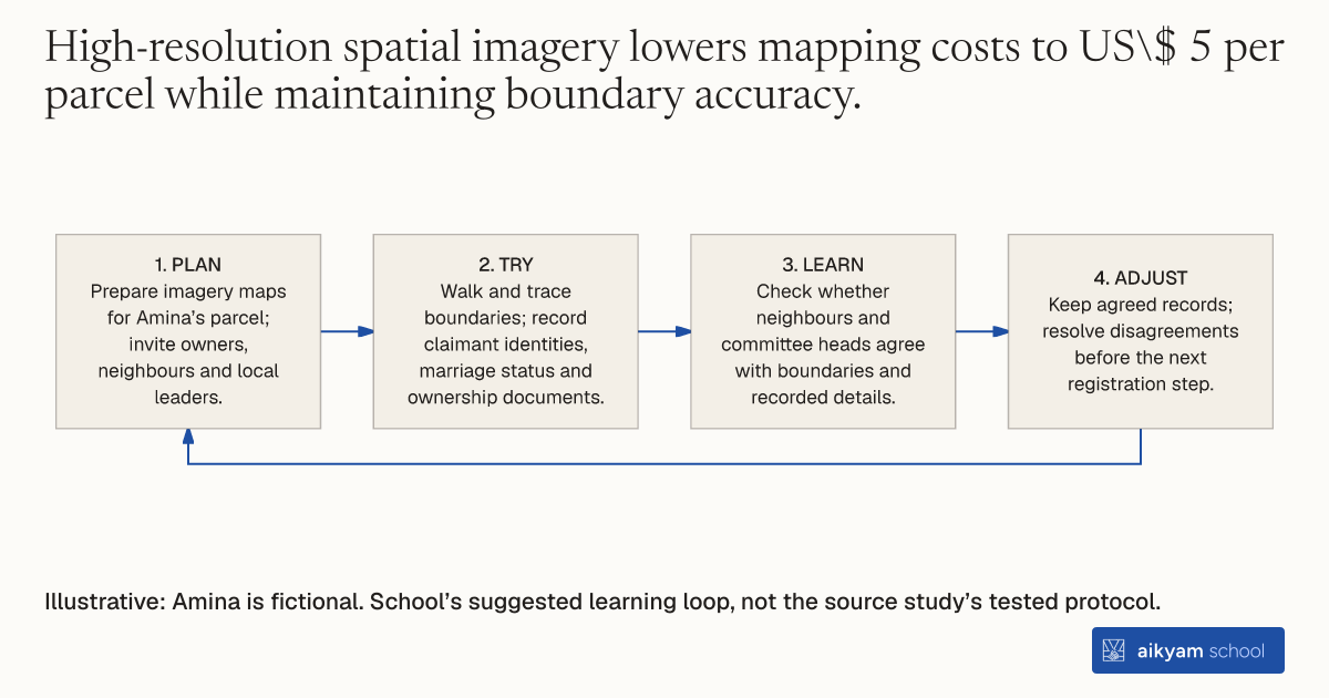
Try, learn and adjust
Check mapped boundaries and claims
- Plan: Prepare imagery maps for Amina’s parcel; invite owners, neighbours and local leaders.
- Try: Walk and trace boundaries; record claimant identities, marriage status and ownership documents.
- Learn: Check whether neighbours and committee heads agree with boundaries and recorded details.
- Adjust: Keep agreed records; resolve disagreements before the next registration step.
Illustrative: Amina is fictional. School’s suggested learning loop, not the source study’s tested protocol.
See source →School’s suggested learning loop: Observe imagery boundaries, claimant details and witnessed agreement. This loop does not establish dispute-reduction effects.
How
When to use
Unclear property boundaries and informal tenure cause land disputes and reduce investment in dense rural areas. Traditional surveying methods are too expensive and slow for nationwide property registration. Governments use imagery-based field adjudication to map parcel boundaries rapidly with community involvement.
Map property boundaries on high-resolution imagery and record claimant details through participatory field surveys.
- Program staff prepare high-resolution imagery maps for targeted rural cells.
- Field parasurveyors walk land boundaries alongside property owners, adjacent neighbors, and local leaders.
- Parasurveyors trace parcel boundaries directly onto imagery maps during on-site inspections.
- Adjudication officers record claimant identities, marriage status, and ownership documents in field registers.
- Neighboring owners and village committee heads verify boundary agreement and witness parcel details.
Why it works
On-site verification by adjacent neighbors and village leaders resolves disputes transparently during demarcation.
Example
The Rwanda Natural Resource Authority used imagery-based demarcation to register land across rural sectors. Field teams mapped over 10.7 million parcels in under three years, with village committee heads attending 96 percent of demarcations and neighbors present in 89 percent of cases.
About the study
Participants
3,600 households in 300 villages across 100 sectors in rural Rwanda.
Study Design
Cluster-randomized evaluation comparing 50 early-implementation sectors to 50 late-implementation sectors using difference-in-differences analysis on household survey data.
Results
Households on demarcated parcels were 4 to 5 percentage points less likely to experience land disagreements, significantly reducing disputes relative to the 6 percent baseline level.