Research procedure
Describe village infrastructure
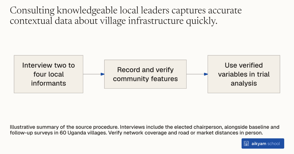
- Interview two to four local informants
- Record and verify community features
- Use verified variables in trial analysis
Illustrative summary of the source procedure. Interviews include the elected chairperson, alongside baseline and follow-up surveys in 60 Uganda villages. Verify network coverage and road or market distances in person.
See source →How
When to use
Evaluating rural programs requires understanding baseline community infrastructure and local contextual barriers. Variation in network coverage, road access, and health facility proximity can influence service delivery and uptake across study sites. This method gathers key village-level data by interviewing local leaders and verifying observable features in person.
Conduct structured key informant interviews and field verifications across target communities to document local infrastructure and environment.
- Survey managers identify two to four knowledgeable key informants per village, including the elected local council chairperson.
- Enumerators administer structured questionnaires to key informants during baseline and follow-up survey waves.
- Survey staff record community characteristics, including total household count, local health facility access, and predominant religion.
- Field enumerators physically inspect and verify observable features, including mobile network signal coverage and distances to tarmac roads or periodic markets.
- Analysts include verified community variables as stratification controls in randomized trial regressions.
Why it works
Direct field verification by enumerators prevents reporting errors regarding geographic distances and telecommunications access.
Example
Research teams interviewed two to four key informants, including elected local chairpersons, across 60 villages in central Uganda during baseline and endline surveys, verifying average distances of 14.8 km to tarmac roads and MTN signal coverage scores.
About the study
Participants
Key informants across 60 village communities (30 treatment and 30 control) in Masaka, Mpigi, Mityana, and Mubende districts in central Uganda.
Study Design
Clustered RCT baseline and follow-up community surveys using structured interviews with 2–4 key informants per village and direct enumerator verification of physical characteristics.
Results
Key informant surveys confirmed balance across communities, showing an average of 381.5 households in treatment vs 370.3 in control, average distance to tarmac roads of 14.8 km in treatment vs 16.1 km in control, and MTN coverage scores of 4.07 vs 4.00 out of 5.