Research records
Combine farm evaluation records
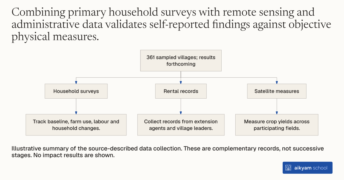
361 sampled villages; results forthcoming
- Household surveys
- Track baseline, farm use, labour and household changes.
- Rental records
- Collect records from extension agents and village leaders.
- Satellite measures
- Measure crop yields across participating fields.
Illustrative summary of the source-described data collection. These are complementary records, not successive stages. No impact results are shown.
See source →How
When to use
Evaluating agricultural technology programs requires tracking outcomes across farming households, rental markets, labor markets, and local governance. Single-source survey data can miss subtle shifts in crop yield, labor allocation, or satellite-level land usage. Combining multi-source survey data with administrative records and satellite measures provides a comprehensive impact assessment for policy makers.
Collect multi-source survey, administrative, and remote sensing data across project phases to evaluate agricultural technology adoption and labor displacement impacts.
- The research team conducts baseline surveys with participating small-scale farming households across treatment and control villages.
- The team collects administrative data from government extension agents and village leaders on drum seeder rental usage.
- The team conducts phone surveys and in-person surveys at various points during planting seasons to measure technology usage and labor hours saved.
- The team gathers satellite remote sensing data to measure crop yields across participating agricultural fields.
- The team surveys female laborer households on changes in time use, off-farm wage earnings, and children's education.
Why it works
This multi-source structure captures both direct agricultural productivity gains and broader indirect labor market displacement.
Example
Researchers collected multi-wave survey, administrative, and satellite data across 361 sampled villages in Telangana, India to evaluate drum seeder adoption, labor savings, and female displacement.
About the study
Participants
361 sampled villages across Telangana, India, where 70 percent of rural households depend on agriculture and farmers cultivate 2 hectares or less.
Study Design
Randomized controlled trial tracking agricultural and economic outcomes across 3 study arms using in-person surveys, phone surveys, administrative records, and satellite remote sensing.
Results
Evaluates technology adoption rates, labor hours saved per hectare, crop yields, rental market sustainability, and female labor reallocation into domestic production or off-farm work; results are ongoing and forthcoming.