Research audit
Map and inspect village infrastructure
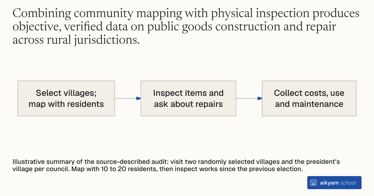
- Select villages; map with residents
- Inspect items and ask about repairs
- Collect costs, use and maintenance
Illustrative summary of the source-described audit: visit two randomly selected villages and the president’s village per council. Map with 10 to 20 residents, then inspect works since the previous election.
See source →How
When to use
Centralized infrastructure registers often lack reliable data on local public goods conditions in rural villages. Council leaders may misreport public works achievements or leave infrastructure unmaintained without independent oversight. Conducting a participatory two-stage mapping exercise with local residents generates an accurate audit of village public goods investments.
Conduct a participatory two-stage infrastructure mapping exercise with local community members to audit public goods investments across villages.
- Surveyors visit two randomly selected villages per council plus the village where the council president resides.
- Surveyors assemble a group of 10 to 20 local residents in each selected village.
- Surveyors and residents draw a spatial map displaying all existing community infrastructure, including water pumps, wells, roads, irrigation equipment, and schools.
- Surveyors inspect every mapped infrastructure item and ask residents whether it was built or repaired since the previous election.
- Surveyors engage the most active mapping participants to collect detailed cost, usage, and maintenance records for each public good.
Example
In West Bengal, researchers conducted two-stage infrastructure mapping across three villages per council, recording that female-led councils repaired or built 23.83 water facilities per village compared to 14.74 in unreserved male-led councils.
About the study
Participants
265 village councils (165 in West Bengal and 100 in Rajasthan) covering rural populations of 10,000 residents per council.
Study Design
Randomized two-stage village infrastructure survey combining participatory mapping with 10 to 20 villagers per site and physical investment audits across 3 villages per council.
Results
Mapping revealed that female-headed councils in West Bengal repaired or built 23.83 water facilities per village versus 14.74 in male-headed councils (+9.09) and improved road quality from 0.23 to 0.41 (+0.18).